Mapping The Quiet Paths
森の小川が海へと注ぐ道を辿って
Finding Your Way On Foot
Evergreen Harbor Point では、デジタルの案内地図はあえて設けていません。かわりに、このページに主要な散策路を距離と所要時間、そして道すがらの見どころとともに記しています。地図アプリを開く前に、まずここで道の性格を知り、ご自身の足取りに合わせて計画していただければと思います。
Rather than an interactive digital map, we've laid out our main paths plainly here — with distance, walking time, and a small note on what each route offers — so you can plan your visit on foot, at your own quiet pace.
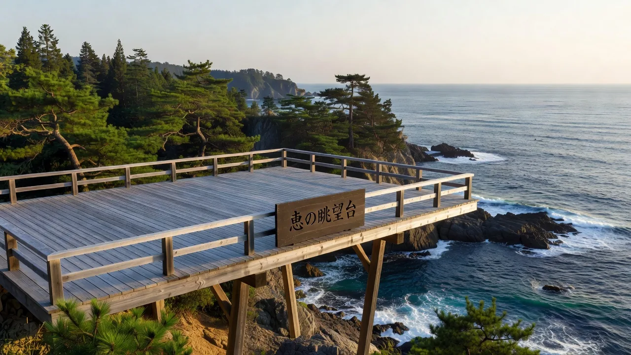
The Viewing Deck
散策路の途中、木立が途切れるところに小さな展望デッキがあります。ここは急ぐための場所ではなく、腰を下ろし、潮風を受けながら海をただ眺めるための場所です。
Along the trails, where the trees briefly part, a simple wooden deck offers a place to rest. It isn't a destination to hurry toward — simply a seat, and the ocean, and time enough to take it in.
Before You Set Out
それぞれの道には、まだ語られていない物語があります。歩き出す前に、その背景を知っておくのも良いかもしれません。そして、ここへたどり着くための道のりも、あわせてご確認ください。